Auvergne
Auvergne
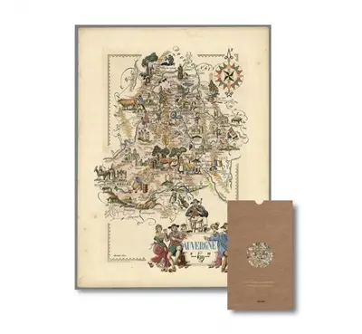
Cette carte d'Auvergne dessinée par Jacques Liozu, Auvergnat natif d'Albi (Tarn), a été publiée en 1951 alors qu'Henri Queuille, Auvergnat natif de Neuvic (Corrèze), était président du conseil de la ive république. Dans l'histoire et la géographie de la France, la région et le massif central qui l'englobe ont occupé une position majeure, par la majesté de leurs volcans, la variété de leurs paysages, la richesse de leurs patrimoines naturel et culturel et les qualités humaines de leurs habitants. Ne dit-on pas avec humour : « la France, c'est l'Auvergne avec quelque chose autour ? »
This map of Auvergne drawn by jacques Liozu, an auvergnat born in albi (tarn), was published in 1951 when henri queuille, an auvergnat born in neuvic (corrèze), was president of the council of the french 4th republic. in the history and geography of france, the region and the massif central which encompasses it have always occupied a major position, for the majesty of their volcanoes, the variety of their landscapes, the richness of their natural and cultural heritage and the human qualities of their inhabitants. As they say with a smile : « France is Auvergne with something around it. »
*Pour les livraisons postales, ajouter le délai de la Poste.
Largeur : 20.0 cm
Epaisseur : 0.2 cm
